
top of page

Impact Studies List

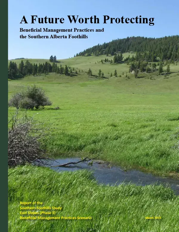
2015 - A Future Worth Protecting

2015 - A Future Worth Protecting

2011 - Values and Voices

2011 - Values and Voices

2007 - A Changing Landscape

2007 - A Changing Landscape

Oldman Watershed Priority Mapping Project

With our growing population, the quality and availability of water in southern Alberta has never been more important. Yet many of our activities have a negative impact on how water interacts with the landscape. This project identifies those areas that if kept intact should provide the greatest benefit as it relates to water quality, flood mitigation, and drought resiliency.

​

SALTS would like to thank the Alberta Government’s Watershed Resiliency and Restoration Program (WRRP) for supporting this project financially. We believe that this project is an excellent example of filling a gap in the available applied science that will help to facilitate and focus concrete actions towards the better management of Alberta’s watersheds.

river-stream-v2.webp

Technical Report

This report summarizes the process used to come up with the maps including the experts consulted, datasets chosen, and mapping methodology employed.

Overlay Results Map

This map shows those areas that if kept intact will provide the greatest value in terms of maintaining water quality, storing water, and slowing runoff. The areas in red, orange, and yellow have the highest values in this respect.

Priority Sub-basins Map

This map takes the data from the overlay results and identifies which sub-basins within the watershed hold the greatest coverage of high priority areas (in this case areas red though yellow). This allows organizations or communities to focus on sub-basins of high priority.

Priority Map Book

The map book contains the same information as the overlay results but at a much higher resolution and with more detailed features to help orient users. The map book allows a user to zoom in and look at the landscape at the level of an individual quarter section.

Georeferenced Image for GIS

This high resolution georeferenced TIF along with TFW and LYR files should allow Arc GIS users to import the image of the overlay results and use it alongside other datasets as a tool to support organizational, project, or land-use planning.

bottom of page